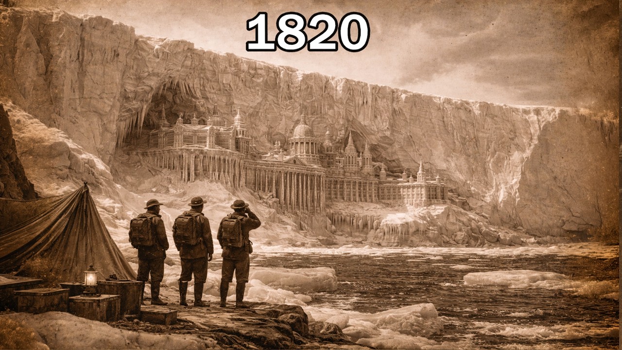
Antarctica was officially sighted in 1820.
There’s just one problem.
Cartographers had been drawing mysterious southern lands for centuries.
One famous map dates to 1513.
Another to 1531.
Then, after thousands of years of recorded civilization—
British, Russian and American voyages all reached Antarctic waters within roughly the same historical moment.
But the timing becomes even stranger when you move backward four years.
The Year Without a Summer.
Snow fell during June in parts of North America.
Crops failed.
Harvests collapsed.
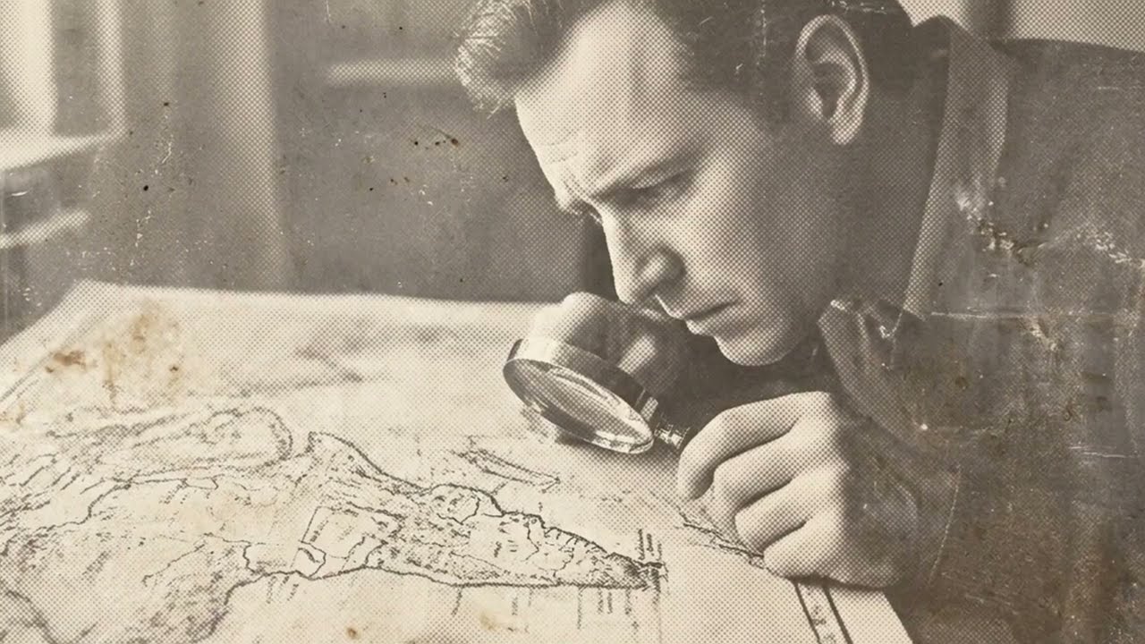
Food prices exploded.
Europe suffered.
North America suffered.
Asia experienced severe climatic disruption.
The accepted explanation centers on the colossal eruption of Mount Tambora in 1815, whose aerosols helped cool global temperatures.
Then—
four years after that extraordinary climate crisis—
the world’s most isolated continent entered the modern observational record.
Antarctica.
Maybe that’s nothing.
Maybe 1816 and 1820 have absolutely nothing to do with each other.
In fact, there is no established scientific evidence showing that they do.
But once I noticed those two dates sitting almost beside one another—
I started asking a different question.
Not:
“Who discovered Antarctica?”
But:
Why did Antarctica enter the modern record when it did?
And that’s when I found the maps.
More than three centuries before the first generally recognized sightings of Antarctica.
Ottoman admiral Piri Reis produced one of the most famous maps in the history of cartography.
Only part of it survives.
It depicts portions of Europe, Africa and the Americas.
Piri Reis himself explained that he had compiled information from earlier charts.
And near the bottom of the surviving map—
there is land.
This is where the argument begins.
Some alternative-history researchers have claimed that this southern coastline represents Antarctica.
More dramatically, some have argued that it depicts Antarctica without its modern ice cover.
If true, the implications would be extraordinary.
It would mean geographical knowledge existed centuries before the conventional exploration timeline allows.
But historians and cartographers generally offer a much less sensational interpretation.
The southern land may represent a distorted extension of South America.
Early cartographers frequently compressed, rotated or misunderstood geography.
Maps were copied from maps.
Errors multiplied.
Coastlines migrated.
Unknown territory was sometimes filled according to expectation rather than observation.
So the Piri Reis map does not prove that Europeans—or some forgotten civilization—mapped an ice-free Antarctica.
But then another map appears.
Oronce Fine.
His world map includes a vast southern continent.
Again, alternative researchers have claimed that its shape resembles Antarctica.
Again, the conventional explanation is different.
European geographers had long believed that a great southern landmass—Terra Australis—must exist.
Not necessarily because anyone had seen Antarctica.
But because classical geographical ideas suggested the world should possess a southern counterweight to the northern continents.
So cartographers drew one.
Sometimes enormous.
Sometimes elaborate.
Sometimes containing mountains and rivers.
That’s important.
A river drawn on an old map is not automatically evidence that someone observed that river.
Cartographers could populate hypothetical continents with imagined geography.
But here’s what makes these maps fascinating even after the extraordinary claims are removed:
They prove that Antarctica existed in the human imagination long before Antarctica existed in the confirmed geographical record.
For centuries—
people expected something to be down there.
Then, around 1820—
people finally started seeing it.
And it didn’t happen through one clean cinematic moment.
There was no explorer planting a flag and announcing:
“I have discovered Antarctica.”
Instead, the historical record gives us competing sightings.
Russian expedition.
British expedition.
American sealer.
Different dates.
Different positions.
Different claims about who saw mainland, ice shelf or islands first.
That’s already more interesting than the simplified version.
By the early nineteenth century, exploration of southern waters was intensifying.
Whalers and sealers had economic reasons to push farther south.
Naval expeditions had better instruments.
Existing discoveries had narrowed the unknown territory.
The search for southern land wasn’t random.
People were actively looking.
So several expeditions reaching the region around the same period doesn’t require secret coordination.
But consider what Antarctica represented.
Almost every other major inhabited landmass had been integrated into human geographical knowledge.
And here was an entire continent concealed behind some of the most hostile ocean and weather conditions on Earth.
A place larger than Europe.
Hidden not because it was magically invisible—
but because reaching it was brutally difficult.
Wind.
Ice.
Distance.
Cold.
No permanent indigenous population providing routes or knowledge to arriving outsiders.
No convenient chain of major ports.
And for wooden sailing vessels—
Antarctic waters could be lethal.
So perhaps the real mystery isn’t:
“Why did humanity wait until 1820?”
Perhaps the better question is:
Why are we surprised it took so long?
But then comes 1816.
And this is where speculation begins.
Mount Tambora erupted in April 1815.
It was one of the most powerful volcanic eruptions in recorded history.
The following year became infamous.
The Year Without a Summer.
Volcanic aerosols in the atmosphere reduced incoming sunlight and contributed to dramatic cooling.
Harvests failed.
Food shortages spread.
Unusual weather appeared across large regions.
The skies themselves became memorable.
Artists painted extraordinary sunsets.
Communities migrated.
Economic pressure intensified.
Disease and hunger followed in vulnerable regions.
It was a genuine global climate shock.
But could it have rapidly frozen Antarctica?
There is no accepted evidence for that.

Antarctica’s major ice sheets are vastly older than 1816.
Ice cores extracted from the continent preserve climate records extending back hundreds of thousands of years.
That creates an enormous problem for any theory proposing that Antarctica was broadly ice-free only a few centuries ago.
You would need to explain not merely historical documents—
but the ice itself.
Layer upon layer.
Ancient trapped atmosphere.
Isotopic signatures.
Volcanic deposits.
Climate cycles.
A recent freezing event would have to overturn an extraordinary amount of physical evidence.
So the idea that the Year Without a Summer suddenly created modern Antarctica cannot currently be supported by the scientific record.
But 1816 still matters to this story for another reason.
It demonstrates how quickly climate can alter civilization.
One eruption—
and harvests fail thousands of miles away.
Migration changes.
Markets change.
Political pressures change.
Human beings who believed their environment was stable suddenly discover it isn’t.
That makes the deeper historical question much more interesting.
Not:
“Did 1816 create Antarctica?”
But:
How much of human history has been shaped by climatic catastrophes we underestimate?
And could memories of earlier climate changes have influenced the strange geographical traditions preserved in ancient maps?
That question remains worth asking.
Then the Antarctic story suddenly jumps more than a century forward.
And becomes military.
Nazi Germany sends an expedition south.
The vessel Schwabenland reaches Antarctica.
Aircraft survey large areas.
German crews photograph and map territory in what became known as New Swabia.
Markers bearing German symbols were dropped to support territorial claims.
That part is real.
And because Nazi Germany later became associated with secret weapons programs, occult interests and extraordinary wartime projects—
the expedition attracted mythology almost immediately.
Secret Antarctic bases.
Hidden submarines.
Lost technology.
Underground installations.
Stories multiplied after the war.
But evidence for a permanent Nazi Antarctic fortress has never matched the legend.
The actual expedition had recognizable strategic and economic motivations, including territorial ambitions and Germany’s interest in whaling resources.
Still—
the date matters.
On the eve of the most destructive war in human history, another major power was mapping Antarctica.
Then the war ends.
And America arrives.
Not with a tiny scientific team.
With an enormous naval operation.
Operation Highjump.
Thirteen ships.
Aircraft.
Thousands of personnel.
Rear Admiral Richard E. Byrd.
One of the largest Antarctic expeditions ever attempted.
If you want to build a conspiracy theory around Antarctica—
this is almost irresistible material.
Why would the United States send such a massive naval force to a continent supposedly containing nothing but ice?
But again, context matters.
The official objectives included training personnel and testing equipment in extreme cold, establishing a base, improving knowledge of Antarctic conditions, and conducting aerial mapping.
World War II had just ended.
The United States military had learned the strategic importance of operating in extreme environments.
The Cold War was beginning.
Polar geography mattered.
Weather mattered.
Aviation mattered.
Logistics mattered.
So military involvement by itself doesn’t prove that anyone was searching for a lost civilization.
But Highjump transformed Antarctica again.
It wasn’t merely an explorer’s frontier anymore.
It was becoming a geopolitical space.
And thirteen years later—
something remarkable happened.
Countries that disagreed about almost everything agreed about Antarctica.
The Cold War.
The United States and Soviet Union possessed nuclear weapons.
Berlin was divided.
Ideological confrontation dominated international politics.
Yet twelve countries signed the Antarctic Treaty.
Antarctica would be used for peaceful purposes.
Scientific investigation would continue.
Military measures such as weapons testing were prohibited.
Nuclear explosions and radioactive-waste disposal were prohibited.
Scientific cooperation was encouraged.
Over time, the Antarctic Treaty System expanded and environmental protections became stronger.
Today, the continent is governed through one of the strangest international arrangements on Earth.
And that fact creates another seductive question:
Why could rival nations cooperate there when they struggled to cooperate almost everywhere else?
One answer is sinister.
They were hiding something.
Another answer is almost the opposite.
Antarctica was one of the few places where cooperation was possible precisely because no permanent native state controlled it and competing territorial claims threatened future conflict.
Science gave governments a mechanism for freezing those disputes without resolving them.
The treaty didn’t prove Antarctica contained a secret.
It prevented Antarctica itself from becoming another battlefield.
But then comes the argument that has probably fueled more Antarctic conspiracy theories than anything else:
You can’t just go wherever you want.
That’s partly true.
And partly misleading.
People do travel to Antarctica.
Tourists go.
Private expeditions go.
Mountaineers go.
Scientists from many nations work there.
But Antarctica is unlike almost anywhere else on Earth.
There are no normal highways.
No ordinary cities.
No commercial fuel stations every hundred miles.
No rescue infrastructure comparable to populated regions.
Temperatures in the interior can become lethal.
Weather can isolate teams for days.
Aircraft operations are difficult.
Distances are enormous.
Environmental rules restrict what visitors can disturb.
Different national jurisdictions regulate expeditions connected to their citizens or operators.
So yes—
you cannot treat Antarctica like a road trip.
But logistical restriction is not the same thing as a secret prohibition against looking.
And yet the practical result is undeniable:
Very few human beings will ever independently explore Antarctica’s deep interior.
That makes the continent perfect territory for mythology.
Because mystery grows wherever access becomes difficult.
And Antarctica has one more advantage over every legendary lost land.
Most of it is buried.
Under ice.
Miles of ice conceal mountains.
Valleys.
Canyons.
Lakes.
Ancient landscapes.
Modern radar and seismic surveys have revealed an extraordinary world beneath the Antarctic ice sheet.
Mountain ranges larger than some above-ground ranges.
Subglacial lakes isolated beneath enormous pressure.
River-like drainage systems.
Deep basins.
Landforms shaped by geological processes long before the current ice sheet existed.
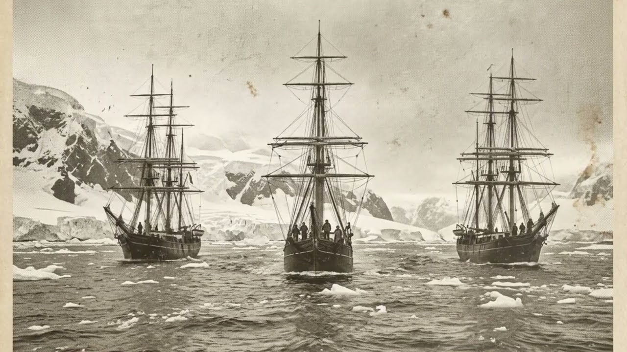
And yes—
Antarctica was once dramatically warmer.
Forests existed there in deep geological time.
Vegetation grew.
Dinosaurs lived on the continent.
But “Antarctica was once green” and “humans recently mapped an ice-free Antarctica” are two completely different claims separated by enormous spans of time.
Confusing those two statements is where much of the alternative-history argument breaks down.
Still, the landscape beneath the ice remains genuinely mysterious.
Our maps continue improving.
Radar surveys continue filling gaps.
Scientists continue discovering previously unknown features.
And because we cannot physically walk across most of the buried terrain—
the imagination fills the empty space.
Cities.
Pyramids.
Machines.
Archives.
Tartaria.
An older civilization.
There is currently no credible archaeological evidence demonstrating that such a civilization existed beneath Antarctica.
But that hasn’t stopped people from searching satellite imagery for shapes that look artificial.
One photograph produces a triangular mountain.
Someone calls it a pyramid.
Another image shows an unusual ridge.
Someone calls it a wall.
Soon an entire civilization exists online—
built from shadows and geometry.
This doesn’t mean Antarctica contains nothing surprising.
Quite the opposite.
It means the real discoveries are already extraordinary enough that we don’t need to invent them.
But there’s another idea in this theory that reaches far beyond Antarctica.
Tartaria.
Open historical maps from early modern Europe and you’ll frequently encounter versions of the word Tartary.
Great Tartary.
Chinese Tartary.
Independent Tartary.
These labels generally referred broadly—and often imprecisely—to enormous regions of Central and Northern Asia inhabited by various peoples Europeans grouped under the term “Tartars.”
In modern alternative-history communities, however, Tartaria has become something completely different.
A lost global civilization.
Technologically sophisticated.
Architecturally advanced.
Destroyed or erased sometime before the modern era.
Its supposed evidence includes monumental buildings, buried ground floors, world’s fair architecture, star forts, old maps and urban infrastructure allegedly too sophisticated for the societies credited with building it.
Then Antarctica enters the theory.
If a global civilization existed—
perhaps Antarctica was part of it.
If Antarctica was once accessible—
perhaps its archives survived.
If catastrophe destroyed the civilization—
perhaps the ice preserved what remained.
It’s an extraordinary narrative.
It connects dozens of mysteries into one enormous explanation.
And that’s exactly why we have to be careful.
A theory that explains everything can become impossible to disprove.
Building too elaborate?
Tartaria.
Missing record?
Erasure.
Buried window?
Mud flood.
Old map?
Inherited knowledge.
Antarctic restriction?
Cover-up.
Absence of archaeological evidence?
Evidence was hidden.
At that point, every objection becomes confirmation.
And history doesn’t work that way.
But something valuable survives when we remove the certainty.
The questions.
Why do some old buildings seem astonishingly ambitious?
How were enormous nineteenth-century projects financed and constructed?
Why do maps contain geographical errors that later viewers interpret as hidden knowledge?
How do civilizations forget?
How much documentation has genuinely been lost?
How much climate catastrophe has shaped migration and political change?
What remains beneath Antarctica’s ice?
Those are real questions.
And Antarctica is the perfect place to ask them.
Because Antarctica genuinely is a continent of missing visibility.
We know enormous amounts about it.
And simultaneously—
vast areas remain physically inaccessible to almost everyone alive.
So let’s return to the number that started this.
Does it mark the moment humanity discovered Antarctica?
Approximately, yes, in the sense of the first generally recognized sightings of the Antarctic continent during that period.
Does it prove nobody had ever encountered southern land before?
No historical statement that broad can be made with absolute certainty.
Do sixteenth-century maps prove that an advanced civilization mapped ice-free Antarctica?
No.
Does 1816 show that Antarctica froze four years before its discovery?
No.
Does Operation Highjump prove the United States found a hidden civilization?
No.
Does the Antarctic Treaty prove dozens of governments agreed to conceal something beneath the ice?
No.
And yet—
after removing every claim we cannot establish—
Antarctica remains one of the strangest places on Earth.
A continent imagined before it was confirmed.
Sought by rival explorers.
Claimed by nations.
Surveyed by militaries.
Protected by international treaty.
Almost entirely uninhabited.
Mostly buried beneath ice.
Containing landscapes no human being has ever directly seen.
And still revealing secrets through radar, drilling and satellite measurements.
Maybe that’s why the conspiracy theories never die.
Antarctica doesn’t need fabricated mystery.
Its geography manufactures mystery naturally.
Stand on almost any other continent and dig beneath your feet.
Eventually you reach rock.
In Antarctica—
you may have to descend thousands of meters first.
And beneath that ice is an entire continent.
Mountains.
Valleys.
Lakes.
Ancient sediments.
A geological archive extending backward through worlds that existed long before humanity.
What else is there?
We don’t completely know.
Not because fifty governments necessarily signed an agreement to hide the answer.
But because Antarctica is enormous—
hostile—
expensive—
and buried.
Which leaves us with one final thought.
Maybe 1820 isn’t suspicious because someone suddenly decided to reveal Antarctica.
Maybe it feels suspicious because we misunderstand what “discovery” means.
A continent can exist on speculative maps for centuries.
Sailors can suspect it.
Cartographers can draw it.
Geographers can argue about it.
And still—
nobody has actually confirmed what is there.
Then ships finally reach the edge.
The blank space begins shrinking.
And two hundred years later, we’re still doing essentially the same thing.
Except now our ships are satellites.
Our eyes are radar.
And the unexplored frontier isn’t the coastline anymore.
It’s underneath it.
So perhaps the real mystery isn’t why Antarctica suddenly appeared in 1820.
It’s this:
After two centuries of exploration—
how much of Antarctica have we still never truly seen?
Because somewhere beneath miles of ice lies a landscape hidden from human eyes for an almost unimaginable length of time.
And unlike the lost civilizations drawn on internet maps—
that buried world is real.
We know it’s there.
We’re mapping it now.
And we still don’t know everything we’re going to find.